Search  for anything...

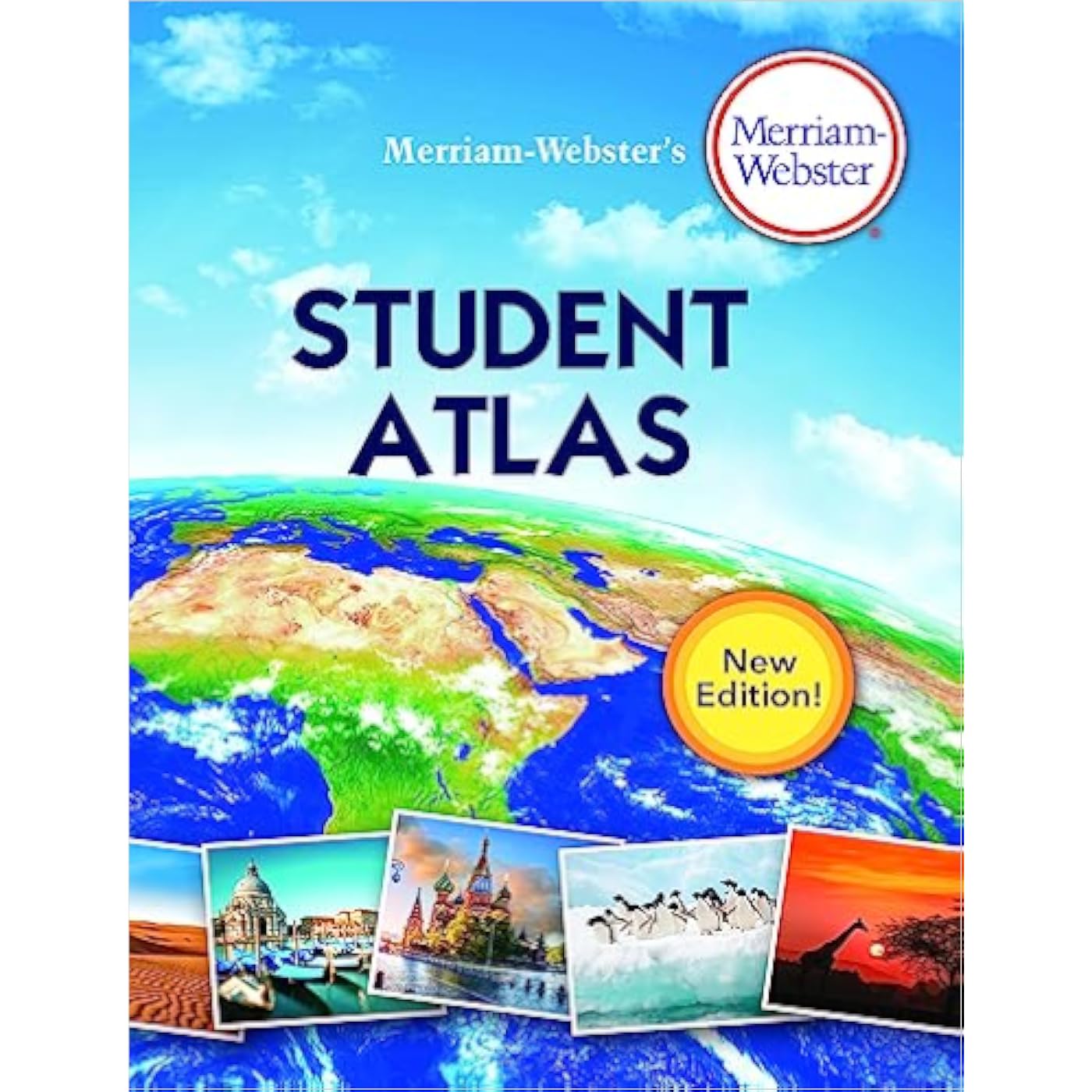
Merriam-Webster’s Student Atlas

  • Based on 1,236 reviews
Condition: New
Checking for product changes
$7.59 Why this price?
Save $5.36 was $12.95

Buy Now, Pay Later


As low as $1 / mo
  • – 4-month term
  • – No impact on credit
  • – Instant approval decision
  • – Secure and straightforward checkout

Ready to go? Add this product to your cart and select a plan during checkout. Payment plans are offered through our trusted finance partners Klarna, PayTomorrow, Affirm, Afterpay, Apple Pay, and PayPal. No-credit-needed leasing options through Acima may also be available at checkout.

Learn more about financing & leasing here.

Free shipping on this product

This item is eligible for return within 30 days of receipt

To qualify for a full refund, items must be returned in their original, unused condition. If an item is returned in a used, damaged, or materially different state, you may be granted a partial refund.

To initiate a return, please visit our Returns Center.

View our full returns policy here.


Availability: In Stock.
Fulfilled by Amazon

Arrives Thursday, Nov 7
Order within 11 hours and 6 minutes
Available payment plans shown during checkout

Description

Explore the world around you with this engaging collection of maps designed especially for middle schoolers.The latest edition of Merriam-Webster’s Student Atlas has been updated to reflect recent global events and features abundant full-color physical, political, and thematic maps.Discover the world’s landforms and bodies of water, the highest and lowest elevations, and learn more about ocean currents, and wind patterns. Thematic maps cover diverse topics such as continental drift, ocean floor, climate, natural resources, and population density.Features up-to-date statistics and global information. Packed with photographs and easy-to-use charts and graphs and featuring a glossary with brief definitions, this book is the perfect resource for kids interested in exploring the world around them both at home and in the classroom. Read more


Publisher ‏ : ‎ Merriam-Webster, Inc.; New Edition, 2020 Copyright (June 17, 2019)


Language ‏ : ‎ English


Paperback ‏ : ‎ 132 pages


ISBN-10 ‏ : ‎ 0877797293


ISBN-13 ‏ : ‎ 96


Reading age ‏ : ‎ 10 - 14 years


Grade level ‏ : ‎ 5 - 8


Item Weight ‏ : ‎ 12.8 ounces


Dimensions ‏ : ‎ 8.5 x 0.3 x 10.88 inches


Best Sellers Rank: #8,970 in Books (See Top 100 in Books) #5 in Children's Atlases (Books) #11 in Atlases (Books)


Frequently asked questions

If you place your order now, the estimated arrival date for this product is: Thursday, Nov 7

Yes, absolutely! You may return this product for a full refund within 30 days of receiving it.

To initiate a return, please visit our Returns Center.

View our full returns policy here.

  • Klarna Financing
  • Affirm Pay in 4
  • Affirm Financing
  • Afterpay Financing
  • PayTomorrow Financing
  • Financing through Apple Pay
Leasing options through Acima may also be available during checkout.

Learn more about financing & leasing here.

Top Amazon Reviews


  • Just what I needed
I work from home as a corporate travel agent and sometimes need a good size map to plot an itinerary. Maps on internet don’t really help for flight planning so I really wanted an atlas. Didn’t want to spend a ton of money. This is just what I needed at the price I was willing to pay
Reviewed in the United States 🇺🇸 on July 31, 2023 by mikey718

  • Excellent student atlas!
All different types of really great maps of the world. Just what I needed for a 5th and 7th grader!
Reviewed in the United States 🇺🇸 on August 11, 2022 by Tyler

  • a good over all atlas
Much good information, but a little lacking in detail. Have been comparing it with my 78 World Book Atlas which has more detail when it comes to showing locations of different items and how they are represented, i.e. forests, live stock and people populations within the different countries, fisheries, mineral and oil extraction. On a good note life expectance within the USA for males has gone up from age 69 in 1978 to 84 in 2018. On the sad side the USA is rated at only #44. ... show more
Reviewed in the United States 🇺🇸 on November 11, 2020 by Bill Thompson

  • Great, basic kids' atlas
I was pleasantly surprised by how nice this atlas was! I purchased it as a reference for my middle-schooler when our school closed for the year, and it's current, colorful, and has a lot of good information in it. This is not a country-by-country atlas - if you want something that detailed, it's not going to work. But this gives full-color maps of continents and the US by political boundaries, topography, population, climate information, etc. Even my kid, who's not very into geography, said that it's a really helpful book and had interesting information in it. ... show more
Reviewed in the United States 🇺🇸 on April 1, 2020 by BEP

  • Excellent!
Great atlas! Has tons of info and nice colorful pages.
Reviewed in the United States 🇺🇸 on June 11, 2022 by Melinda

  • Our 8-year old LOVES it!
Great starter atlas. Pretty cool facts & the pictures are awesome!
Reviewed in the United States 🇺🇸 on May 12, 2022 by Jenny Gilchrist

  • Great resource for the whole family.
This is a great resource for home use. The size and cost make it perfect.
Reviewed in the United States 🇺🇸 on May 4, 2021 by P A Warren

  • Very disappointing
Most of the maps are of things like internet usage, land use, precipitation, reforestation and deforestation rates, poverty levels, gross domestic product, and natural resources. There are very few political and topographic maps--maps that I think should be the backbone of a good atlas, with the other types of maps occupying a minority of pages. The topographical maps are very nice; good use of color and mountain markings. That is why I gave it two stars. North America has four political and four topographical maps: One for the continent, one for the US, one for Canada, one for Canada, and one for Mexico. The smaller countries in Central America between Mexico and South America only appear on the continental map. The other maps of North America show Major Metropolitan Areas, Electricity Use in 2014, Land Use and Resources, Climate, Annual Precipitation, Vegetation, and Environmental Issues . ... show more
Reviewed in the United States 🇺🇸 on June 4, 2020 by mh

Can't find a product?

Find it on Amazon first, then paste the link below.